PUBLICATIONS—Scientific Investigations Report
U.S. Department of the Interior
U.S. Geological Survey
Michigan Water Science Center
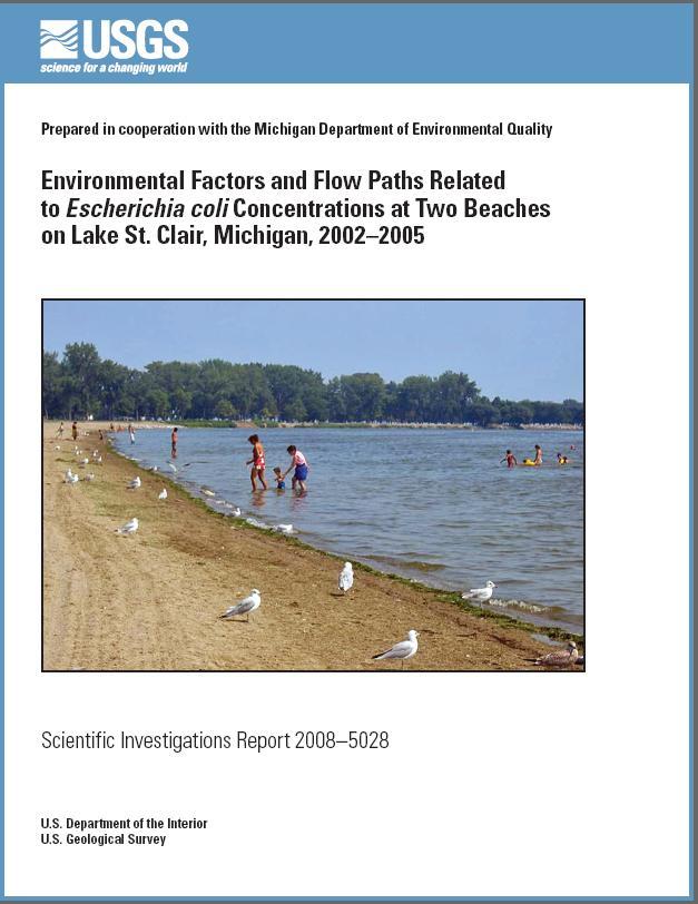
Prepared in cooperation with the Michigan Department of Environmental Quality
ONLINE ONLY
This report is available below as a 38–page PDF for viewing and printing.
Regression analyses and hydrodynamic modeling were used to identify environmental factors and flow paths associated with Escherichia coli (E. coli) concentrations at Memorial and Metropolitan Beaches on Lake St. Clair in Macomb County, Mich. Lake St. Clair is part of the binational waterway between the United States and Canada that connects Lake Huron with Lake Erie in the Great Lakes Basin. Linear regression, regression–tree, and logistic regression models were developed from E. coli concentration and ancillary environmental data.
Linear regression models on log10 E. coli concentrations indicated that rainfall prior to sampling, water temperature, and turbidity were positively associated with bacteria concentrations at both beaches. Flow from Clinton River, changes in water levels, wind conditions, and log10 E. coli concentrations 2 days before or after the target bacteria concentrations were statistically significant at one or both beaches. In addition, various interaction terms were significant at Memorial Beach. Linear regression models for both beaches explained only about 30 percent of the variability in log10 E. coli concentrations.
Regression–tree models were developed from data from both Memorial and Metropolitan Beaches but were found to have limited predictive capability in this study. The results indicate that too few observations were available to develop reliable regression–tree models.
Linear logistic models were developed to estimate the probability of E. coli concentrations exceeding 300 most probable number (MPN) per 100 milliliters (mL). Rainfall amounts before bacteria sampling were positively associated with exceedance probabilities at both beaches. Flow of Clinton River, turbidity, and log10 E. coli concentrations measured before or after the target E. coli measurements were related to exceedances at one or both beaches. The linear logistic models were effective in estimating bacteria exceedances at both beaches. A receiver operating characteristic (ROC) analysis was used to determine cut points for maximizing the true positive rate prediction while minimizing the false positive rate.
A two–dimensional hydrodynamic model was developed to simulate horizontal current patterns on Lake St. Clair in response to wind, flow, and water–level conditions at model boundaries. Simulated velocity fields were used to track hypothetical massless particles backward in time from the beaches along flow paths toward source areas. Reverse particle tracking for idealized steady–state conditions shows changes in expected flow paths and traveltimes with wind speeds and directions from 24 sectors. The results indicate that three to four sets of contiguous wind sectors have similar effects on flow paths in the vicinity of the beaches. In addition, reverse particle tracking was used for transient conditions to identify expected flow paths for 10 E. coli sampling events in 2004. These results demonstrate the ability to track hypothetical particles from the beaches, backward in time, to likely source areas. This ability, coupled with a greater frequency of bacteria sampling, may provide insight into changes in bacteria concentrations between source and sink areas.
This document is available in Portable Document Format (PDF).
To view and print report you will need to use Adobe Acrobat Reader (available as freeware).
Users with visual disabilities can visit Online conversion tools for Adobe PDF documents web page.
Whole report (3.68 MB) - 38 pages (8.5” by 11” paper)
Suggested Citation:
Holtschlag, D.J., Shively, Dawn, Whitman, R.L., Haack, S.K., and Fogarty, L.R., 2008, Environmental factors and flow paths related to Escherichia coli concentrations at two beaches on Lake St. Clair, Michigan, 2002–2005: U.S. Geological Survey Scientific Investigations Report 2008–5028, 38 p. Date Posted: May 7, 2008: [http://pubs.water.usgs.gov/sir20085028/]
Abstract
Introduction
Purpose and Scope
Site Description
Data Used in the Study
Escherichia coli Concentrations
Ancillary Environmental Data
Analytical Approach and Methods
Regression Models
Linear Regression
Regression Trees
Logistic Regression
Hydrodynamic Modeling
RMA2 Hydrodynamic Code
Two–Dimensional Hydrodynamic Model of Lake St. Clair
Particle Tracking
Relation of Environmental Factors to Escherichia coli Concentrations
Statistical Distributions of Escherichia coli Concentration and Effects of Wind Direction
Linear Regression Results
Memorial Beach
Metropolitan Beach
Regression–Tree Results
Memorial Beach
Metropolitan Beach
Logistic Regression Results
Memorial Beach
Metropolitan Beach
Relation of Flow Paths to Escherichia coli Concentrations
Flow Simulation
Particle Tracking
Steady–State Simulations
Transient Simulations
Additional Analysis of Period Covered by Transient Hydrodynamic Simulation
Suggestions for Future Studies
Summary and Conclusions
Acknowledgments
References Cited
Appendix 1. Equations and Detail Used in the Linear and Logistic Regression Models
Linear Regression
Logistic Regression
1. Map showing Lake St. Clair study area.
2–10. Graphs showing:
2. Time–series plot of the daily geometric mean E. coli concentrations at Memorial Beach on Lake St. Clair, Mich.,
1998–2006.
3. Time–series plot of the daily geometric mean of E. coli concentrations at Metropolitan Beach on Lake St. Clair, Mich.,
1998–2006.
4. Statistical distributions of E. coli concentrations at (A) Memorial and (B) Metropolitan Beaches on Lake St. Clair, Mich.,
2002–05.
5. Relation between wind conditions and E. coli concentrations at Memorial Beach on Lake St. Clair, Mich., 2002–05.
6. Distributions of Macomb County Health Department E. coli concentrations at Memorial Beach by wind direction on
Lake St. Clair, Mich., 2002–05.
7. Relation between wind conditions and E. coli bacteria concentrations at Metropolitan Beach on Lake St. Clair, Mich.,
2002–05.
8. Distributions of Macomb County Health Department E. coli data, by wind direction for Metropolitan Beach on
Lake St. Clair, Mich., 2002–05.
9. Relation between measured and main–effect model estimates of E. coli concentrations at Memorial Beach on
Lake St. Clair, Mich., 2002–05.
10. Relation between measured and linear regression estimates of E. coli concentrations at Metropolitan Beach on
Lake St. Clair, Mich., 2002–05.
11. Schematic showing the regression tree for estimating log10 E. coli concentrations for Memorial Beach on Lake St. Clair,
Mich., 2002–05.
12–15. Graphs showing:
12. Regression tree root mean square error for estimation and prediction for Memorial Beach on Lake St. Clair, Mich.
13. Receiver operating characteristics (ROC) curves for logistic equations predicting the probability of E. coli
concentrations exceeding 300 MPN/100 mL at Memorial Beach on Lake St. Clair, Mich., 2002–05.
14. Receiver operating characteristics (ROC) curve for logistic equations predicting the probability of E. coli
concentrations exceeding 300 MPN/100 mL at Metropolitan Beach on Lake St. Clair, Mich., 2002–05.
15. Wind characteristics, by sector, on Lake St. Clair based on data from Lake St. Clair Monitoring Station LSCM4
in Michigan.
16–19. Maps showing:
16. Simulated reverse particle paths from Memorial Beach for selected wind sectors on Lake St. Clair, Mich.
17. Simulated reverse particle paths from Metropolitan Beach for selected wind sectors on Lake St. Clair, Mich.
18. Reverse particle tracks for selected sampling events in 2004 starting from Memorial Beach on Lake St. Clair, Mich.
19. Reverse particle tracks for selected sampling events in 2004 starting from Metropolitan Beach on Lake St. Clair,
Mich.
20–23. Graphs showing:
20. Atmospheric pressure and water levels in May 2004 at St. Clair Shores, Mich.
21. Rainfall, E. coli concentrations, and water levels in May 2004 on Lake St. Clair, Mich.
22. Rainfall and water levels in June and July 2004 on Lake St. Clair, Mich.
23. Rainfall and water levels in August and September 2004 on Lake St. Clair, Mich.
1. Summary of linear regression models at Memorial Beach on Lake St. Clair, Mich., 2002–05.
2. Summary of linear–regression models at Metropolitan Beach on Lake St. Clair, Mich., 2002–05.
3. Summary of logistic regression models for E. coli concentrations at Memorial and
Metropolitan Beaches on Lake St. Clair,
Mich., 2002–05.
4. Selected E. coli sampling events on Memorial and Metropolitan Beaches on Lake St. Clair, Mich.
5. Number of sampling events and maximum E. coli concentrations associated with various sky–cover conditions, May 1 to
September 30, 2004, on Lake St. Clair, Mich.
For additional information, contact:
U.S. Geological Survey
Michigan Water Science Center
6520 Mercantile Way, Suite 5
Lansing, MI 48911-5991
GS-W-MIlns_DC@usgs.gov
or for more information about USGS activities in Michigan, visit the USGS Michigan Water Science Center home page.

![]() U.S. Department of the Interior |
U.S. Geological Survey
U.S. Department of the Interior |
U.S. Geological Survey
URL: http://pubs.water.usgs.gov/sir2008-5028/
Page Contact Information: Publishing Service Center
Page Last Modified: Thursday, 10-Jan-2013 18:45:14 EST
